Leica BLK360 Imaging Laser Scanner
Leica BLK360 Imaging Laser Scanner
Product Description
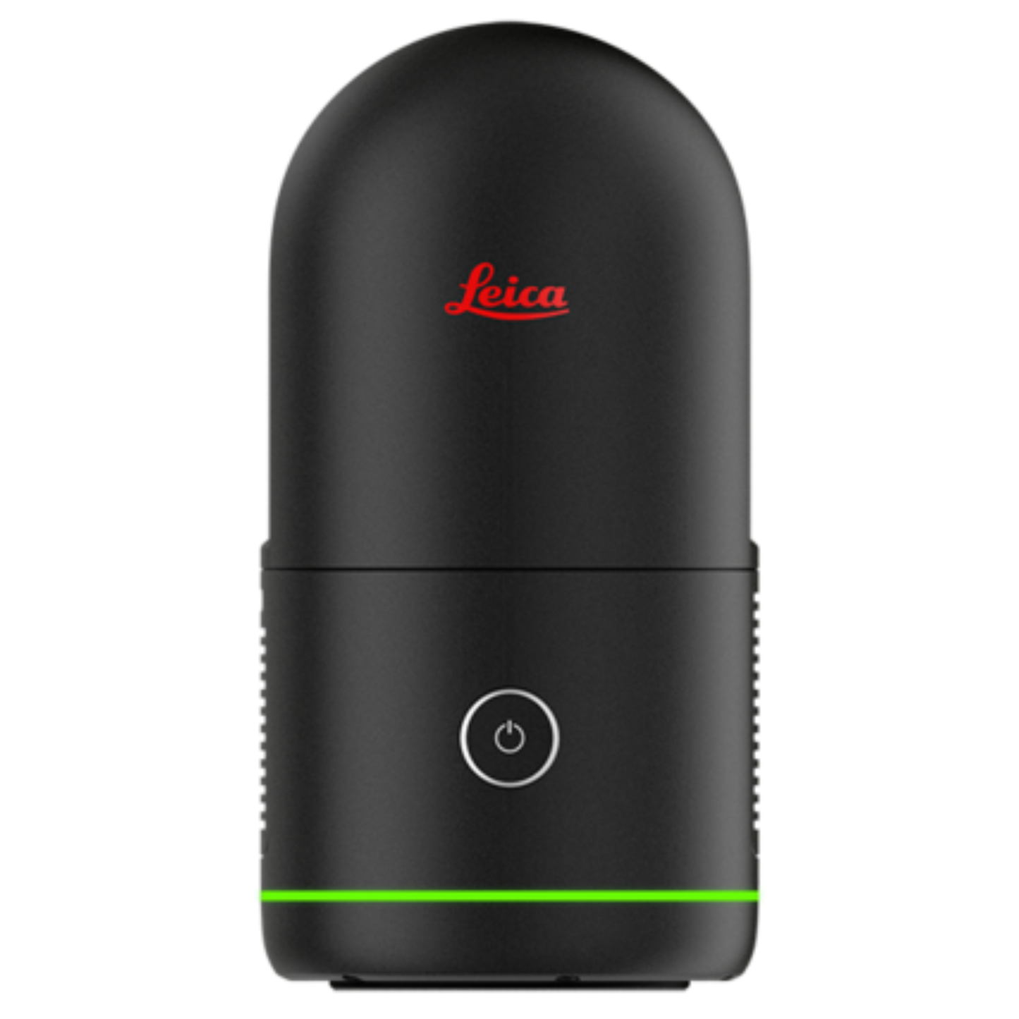
The Leica BLK360 Imaging Laser Scanner is a compact and lightweight 3D laser scanning system designed for fast, accurate reality capture and point cloud generation. It enables professionals to capture high-resolution spatial data for architecture, engineering, construction, BIM, and facility documentation workflows.
Equipped with high-speed laser scanning, integrated HDR imaging, and thermal data capture, the BLK360 produces detailed colorized point clouds with exceptional accuracy. Its portability and ease of use allow rapid deployment in the field, making it ideal for as-built surveys, progress documentation, and digital twin creation.
Built on Leica Geosystems’ proven measurement technology, the BLK360 delivers reliable, professional-grade 3D scanning performance in a highly portable form factor.
Key Features
Compact and lightweight 3D laser scanner
High-accuracy point cloud generation
Integrated HDR panoramic imaging
Fast reality capture performance
Ideal for BIM and construction documentation
Portable field-ready design
High-resolution spatial data output
Efficient digital twin creation
Reliable Leica Geosystems technology
Optimized for professional workflows
Specifications Table
| Specification | Details |
|---|---|
| Model | Leica BLK360 |
| Instrument Type | Imaging Laser Scanner |
| Scanning Technology | 3D laser scanning |
| Data Output | Colorized point clouds |
| Imaging | Integrated HDR imaging |
| Applications | BIM construction surveying |
| Capture Speed | High-speed scanning |
| Portability | Ultra-compact design |
| Field Use | Indoor and outdoor |
| Manufacturer | Leica Geosystems |
The Leica BLK360 imaging laser scanner delivers high-accuracy 3D reality capture for BIM, construction, and surveying applications. Designed for portability and performance, it produces detailed point clouds and panoramic imagery for professional documentation workflows.
Share