Trimble X12 Imaging Total Station
Trimble X12 Imaging Total Station
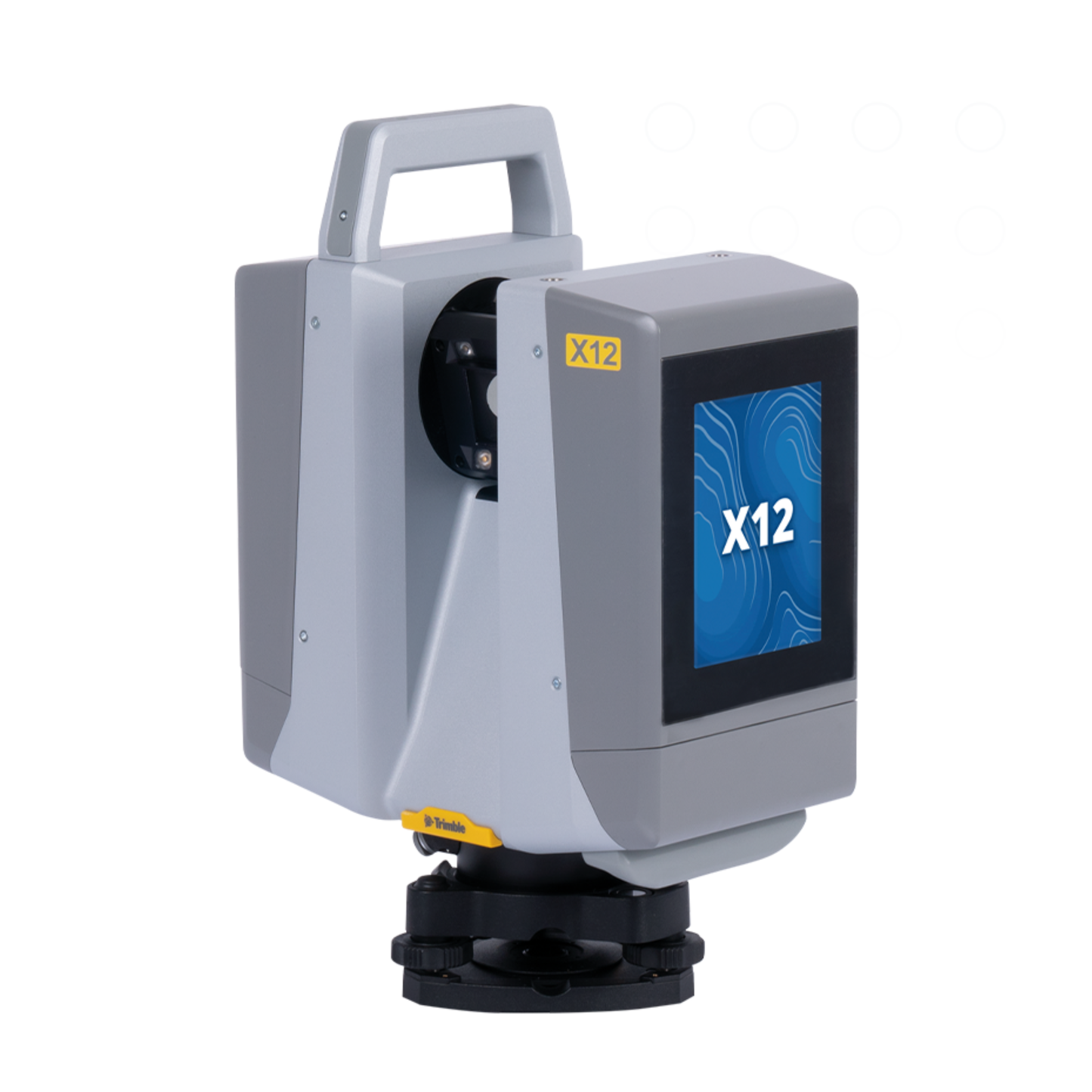
Product Description
The Trimble X12 Imaging Total Station is a next-generation high-precision surveying instrument engineered for demanding construction, engineering, and geospatial measurement applications. It integrates advanced optical measurement, imaging technology, and robotic functionality to deliver accurate and efficient field workflows.
Designed for professionals who require speed, accuracy, and reliability, the Trimble X12 offers exceptional angular accuracy, long-range EDM performance, and integrated imaging for precise target acquisition and documentation. Its rugged construction ensures dependable operation in challenging job-site environments.
The Trimble X12 is ideal for construction layout, as-built surveys, control measurements, and infrastructure projects, providing surveyors with confidence and productivity in every measurement.
Key Features
Advanced imaging total station technology
High-precision angle and distance measurement
Integrated imaging for documentation
Long-range electronic distance measurement
Optimized for construction and surveying
Reliable robotic measurement capability
High accuracy and repeatability
Rugged field-ready design
Efficient data capture workflows
Trusted Trimble engineering quality
Specifications Table
| Specification | Details |
|---|---|
| Model | Trimble X12 |
| Instrument Type | Imaging Total Station |
| Measurement Technology | Optical and EDM |
| Angle Accuracy | High-precision angular measurement |
| Distance Measurement | Long-range EDM |
| Imaging | Integrated imaging system |
| Applications | Surveying construction layout engineering |
| Operation | Manual and robotic capable |
| Field Use | Rugged outdoor design |
| Manufacturer | Trimble |
The Trimble X12 imaging total station delivers advanced measurement accuracy and imaging for professional surveying and construction applications. Designed for reliability and precision, it enhances productivity in demanding field environments.
Share